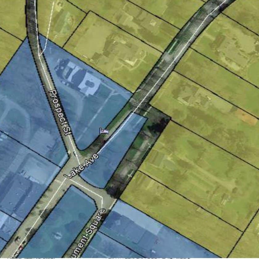
Montrose Borough was working with a Zoning Map which was only available in paper format, and in some cases, it was difficult to use and understand. The Borough approached JHA Companies to help solve this problem and make their zoning data more accessible to Borough employees.
JHA utilized ArcMap software to create a digital version of the existing Zoning Map, applying the zoning designations from the older paper map to the most current GIS parcel data available. The resulting digital data was given to Montrose Borough as a Google Earth KMZ file, which could be viewed and navigated in the free Google Earth software viewer. The Borough is now able to view each parcel using an interactive viewer, which also displays relevant parcel data, such as owner name, parcel number, and zoning designation, which is displayed in a pop-up window.
By using GIS software, with its database and editing capabilities, JHA was able to keep the cost of this project low. In the future, JHA will be able to quickly, easily, and cheaply update the KMZ if there are any zoning changes.

