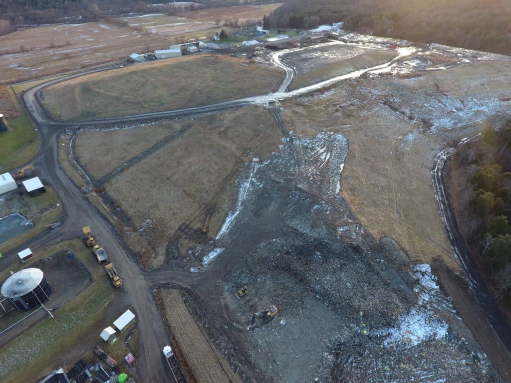
JHA Companies assisted with the annual volume assessments of added material and subsidence of a 50+ acre landfill, producing needed volume calculations for a planned shift in site material. Because of the complexity and size of the task, JHA drones were employed to map and contour the site.
Roughly 1,200 aerial photos provided the 57 million photogrammetric data points used to model the site’s contours; and 1,900 survey data points, gathered separately with sub-centimeter GPS equipment, confirmed the model’s accuracy. JHA drafters removed site equipment & vehicles from the model to improve volume accuracies (measured at ±3.5%) and also produced an
orthomosaic (a geo-referenced, top-down, proportional, composite aerial photo) of the site without disrupting ongoing site activities.
Project field work (completed in two days) was referentially adjusted to a model of the previous year’s data for the sake of volume comparisons, and vertical control was analyzed and confirmed for the sake of maintaining consistency in future volume studies at the site. With a full range of drone services, JHA is able to assess rapidly changing, difficult or dangerous access project sites with minimal disruption. Clients are then provided with accurate, real-time, actionable data and media.

