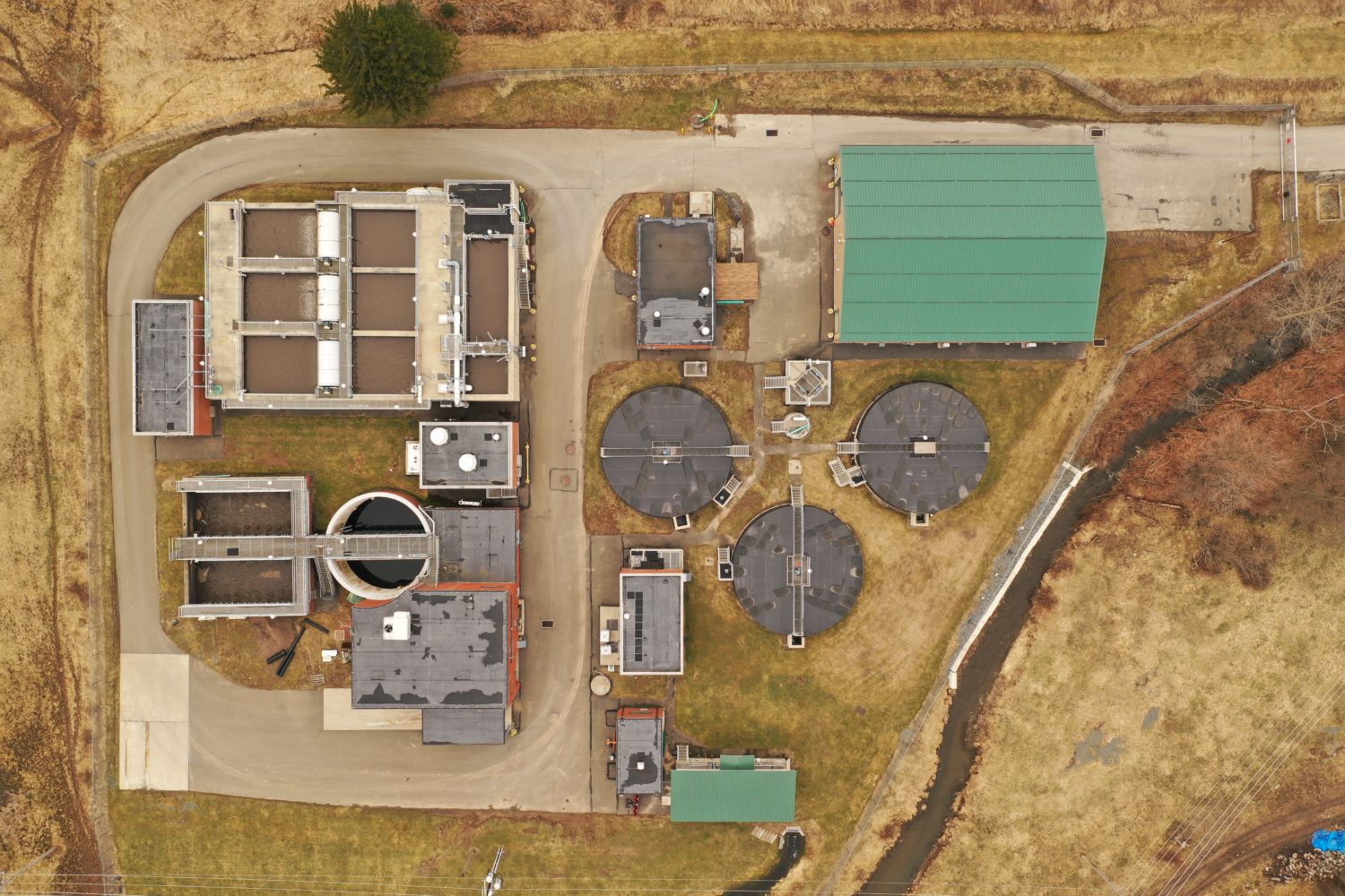

Maybe you’ve not thought a great deal about how drones could fit into what you do, or don’t feel you have the expertise to gather the data even if you desired to do so. That is where I hope JHA Companies drone services can come in to play for you. I have compiled 4 ways that I believe utilizing a drone could take your project to the next level:
1. We believe drones can produce a faster topographic survey product, often at a lower cost and with more nuanced definition.
JHA has had the opportunity of comparing conventional topographic surveying to drone-based topographic surveying and here are few observations we’ve learned along the way:

2. You get better actionable data for the life of your project.
Have you ever thought something along these lines before: “I wish I had some better information to work with before having to make this next decision…” or, “It sure would be nice to have additional quality data to work with on this project…” ?
If you have an appropriate drone sensor that closely aligns with your line of work, there is a good chance that we’ll be able to gather the data your looking for to assist you in making solid project decisions and creating concrete action items based on real, up-to-date drone data. So, the question is, “What data are you looking for?” We can brainstorm with you on the best way to meet your data needs with the appropriate drone sensors in service today.
What data are you looking for?

3. In many circumstances, you will find drones will improve worker safety.
Allow me to list a few of the dangers that field crews face on a day-to-day basis across a broad range of industries. These hazards can be something as simple as working near high-speed traffic, or exposure to chemicals or other explosive and flammable hazards, possibly climbing towers for inspection purposes, or even surveying high-voltage assets. The immediate follow-up question that begs answering is, “What safety concerns are you or your employees currently being exposed to that could safely be remediated by the use of drones in the workflow?” When assets are in disrepair the multiplication of risks are even greater. The bottom line is this: Using drones to survey an array of infrastructure greatly lessens the chance for harm to workers in the field and allows them to remain at a safe distance while performing their work tasks.
Using drones to survey an array of infrastructure greatly lessens the chance for harm to workers in the field and allows them to remain at a safe distance while performing their work tasks.

4. Using drones increases reliability and heightens resiliency.
We are already seeing drones being used to provide better monitoring at a higher frequency in our own industry, and its true of infrastructure or asset management work as well.
This increase in frequency and amount of data has the potential to directly correspond to improvements in reliability across many sectors including water, survey, electric, natural gas, and renewable energy (wind and solar). Carry this thought further and combine this readily available drone data with machine learning, Artificial intelligence (AI) and Internet of Things (IoT), and the use of drones has the potential of pushing us into a new age where predictive maintenance is the new normal. Being able to predict and service before failure occurs goes a long way at improving our own infrastructure resiliency. We are able to survey infrastructure much faster and in different ways than thought of years ago, and this becomes quite important when these critical systems face destructive events and we are faced with the need to assess and restore as quickly as possible to maintain proper function. Drones provide a way of increasing our ability to get back up and running quicker than thought possible before.
Drones provide a way of increasing our ability to get back up and running quicker than thought possible before.
With such a wide range of use, how do we apply it to what we do? Land Surveying, methane leak detection, precision agriculture, construction monitoring, site security, LIDAR surveying, crop monitoring, thermal deer surveys, solar and wind turbine inspections, search and rescue, disaster relief mapping/assessment, bridge inspections, thermal leak detention, and power line infrastructure inspections are just a few uses. We can assist you in finding the right sensor for the job at hand (see graphic below), and by attaching it to a drone to collect actionable data for your line of work.

Had you ever wondered when you should think ‘drone’ in your current workflow? We hope these ideas will assist you in doing that as you consider your current projects. If you would like to have someone walk with you through this thought process or provide you a quote as to what your idea would cost to carry out in the real world, please feel free to reach out to me via phone or email. I truly appreciate your time and consideration around this growing field of service!


Joshua King is JHA Companies’ Survey Project Leader for Engineering & an FAA certified Drone Pilot. He enjoys spending time with his wife and five kids at their First Day cottage they built out in the country, flying drones in the off hours, and serving in their local church and community. They love to go wild edible foraging as a family in the springtime, and have planned to visit the Ark Encounter exhibit this year located in Williamstown, KY. Josh can usually be found with his nose in a book and a smile on his face
Reach out to Joshua at jking@jhacompanies.com or call him at (272) 268-1628.
